


مسیر و شیبش
May 30, 2025 at 8:31 AM UTCpublic

باشد که رستگار شویم!
Comments
No comments yet. Be the first to start the conversation.
Log in to join the conversation.

Your ads can be here. Contact us
آیا از برنامههای گرید سه و چهار خسته شدهاید؟ آیا طبیعتگردی برایتان تکراری شده؟ آیا زندگی برایتان یکنواخت شده؟ آیا مرگ با عزت را بر زندگی با ذلت ترجیح میدهید؟ اگر بله این برنامه برای شماست!
Quick overview: Explore the Cathedral Range's Southern Circuit, a challenging 11km hike near Melbourne. This Grade 5 trail is perfect for thrill-seekers, featuring significant rock scrambling and unassisted climbing along the Razorback Track and Canyon Track (or Wells Cave Track).
Important info: The Cathedral Range is a special place that has a lot to offer hikers, but it should not be underestimated. The terrain is dominated by rocky ridges and outcrops, requiring navigation of steep climbs, uneven surfaces, and potentially slippery sections. Weather conditions can shift rapidly, so trekkers must be prepared for all possibilities.
Hike overview:
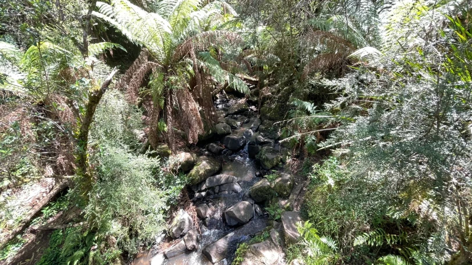
This Cathedral Range - Southern Circuit hike explores the southern section of the range. This is a hike for those with a sense of adventure as it involves a serious amount of unassisted rock scrambling along exposed ledges and steep rocky outcrops as you make your way up to Sugarloaf Peak and along the aptly named Razorback Track.
The trail climbs the very crest of this ridge to Sugarloaf Peak. This is recommended for experienced hikers only as it is steep in places, requires a lot of rock scrambling and unassisted climbing and traverses some exposed ledges en-route.
From Sugarloaf Peak, the trail continues north, gradually descending along the rocky and narrow 'Razorback'. There is a lot of rock hoping, scrambling and abrupt drops along the way.
Tips:
The Cathedral Range should not be underestimated.
The terrain is dominated by rocky ridges and outcrops, requiring navigation of steep climbs, uneven surfaces, and potentially slippery sections.
Weather conditions can shift rapidly, so walkers must be prepared for all possibilities.
Be aware that many trails are steep and rocky, and can become slippery after rain or in misty weather.
Only attempt if you are comfortable with heights and exposed sections requiring scrambling.
Plan for slower progress due to the rugged terrain. Expect to cover 1.5-2km per hour in some sections.
Hiking poles are highly recommended for certain sections of the trails.
Let someone know where you are hiking and when you expect to return.
Total distance: 10944 m
Max elevation: 899 m
Min elevation: 375 m
Total climbing: 650 m
Total descent: -651 m
Hamid (0424 486 683)
باشد که رستگار شویم!
No comments yet. Be the first to start the conversation.

Weather conditions can shift rapidly, so trekkers must be prepared for all possibilities.